|
|
Take a Virtual Tour of the Mississippi River to see what I passed through!
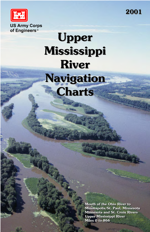
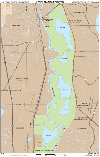
To navigate my way down the river I first used a series of nine maps provided by the Minnesota Department of Natural Resources. Those maps took me from Lake Itasca to Minneapolis/St. Paul. From there I continued down the river using the navigation charts purchased from the U.S. Army Corps of Engineers, which took me from Minneapolis/St.Paul down to my finishing point at the Gulf of Mexico. Another source of navigating was my iPhone. I utilized the satellite imagery and GPS to ensure I was on the right path. It was especially useful near the headwaters of the Mississippi. |
The Route
My journey began at the Headwaters of the Mississippi River in Lake Itasca, MN and finished in the salty waters of the Gulf of Mexico, approximately 95 miles south of New Orleans, LA. This route was comprised of a very flooded and challenging 2,340 miles!
